Salmon Restoration Project at toqʷanan
Aquilla supported Tla’amin Nation’s salmon restoration work at toqʷanan through archaeological survey, heritage protection, and documentation of significant intertidal fish trap features.
Overview
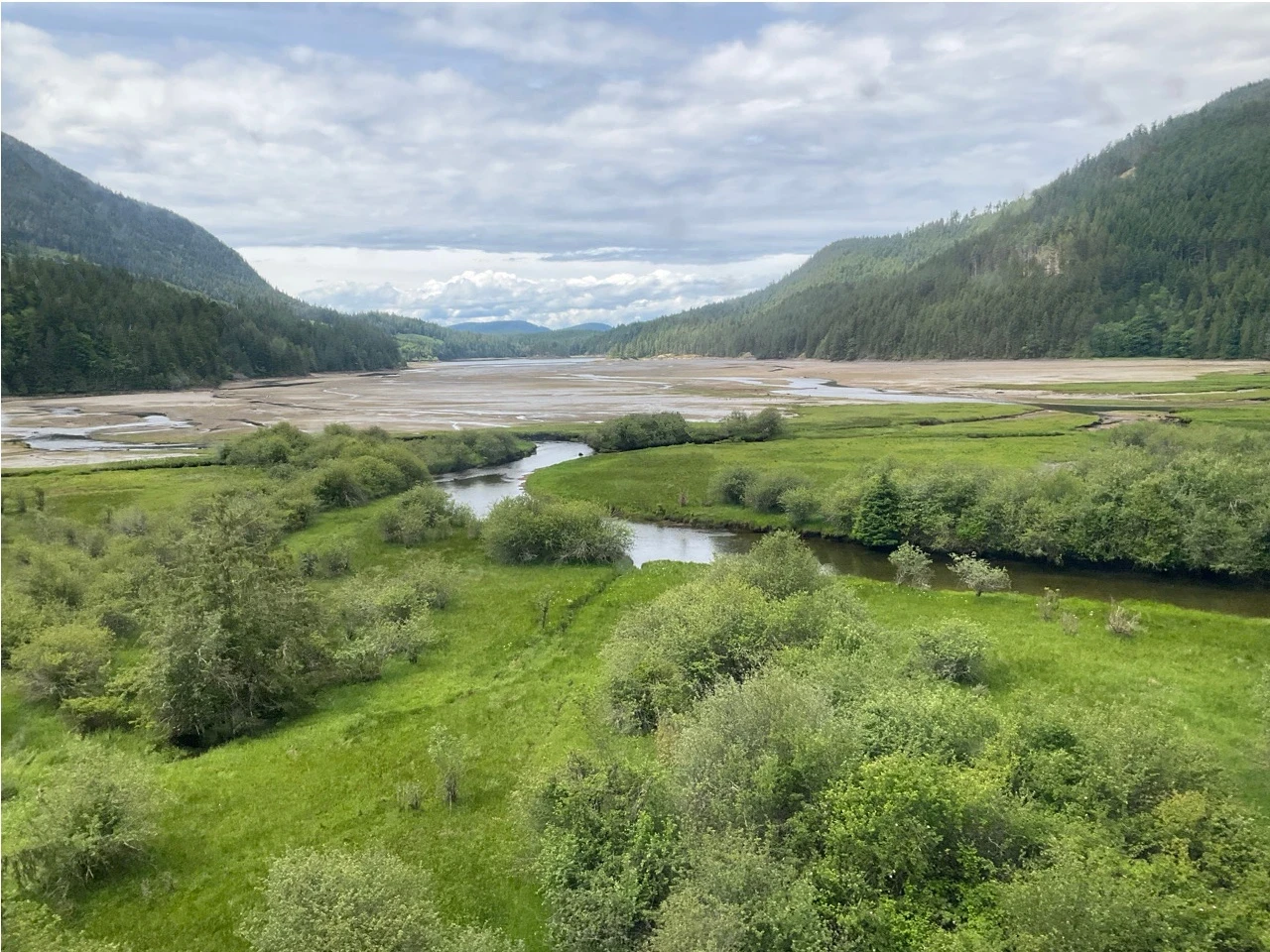
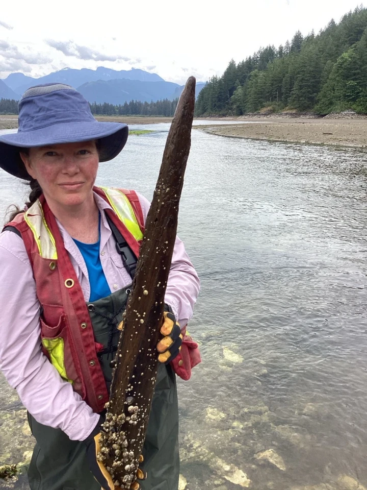
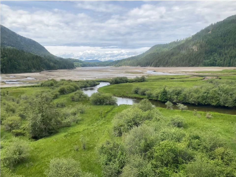
Tla’amin Nation recently led a successful salmon restoration project in the Theodosia River in Desolation Sound. Aquilla Archaeology Ltd. was asked to complete an archaeological survey and study the Tla’amin Lands here to ensure that restoration efforts would not damage any heritage sites.
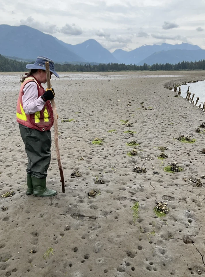
The remains of a large wood fish trap complex indicate the significance of the salmon populations in the past as these traps were used to catch fish on their way to the river to spawn. In the late 1800s when Indian Reserve Commissioners were drafting boundaries of Indian Reserves at toqʷanan, they sketched the location of traditional Tla’amin houses and named them according to what was likely the highest-ranking man in the family.
More Details
The following article by Alex Sutcliffe originally appeared in the December 2019 Edition of Neh Motl, the community newsletter of Tla’amin Nation. View the full newsletter here.
Colleen Parsley from Aquilla Archaeology is one of the archaeologists who has been studying the coastal features in this area. In one of her impact assessment studies from 2014 she notes:
The intertidal zone is a continuous complex of petroform features. A complicated arrangement of rock walls and cleared beach areas forming pen-like structures were utilized as fish traps, and may have served also as clam gardens. Long linear cleared zones punctuating the traps were likely canoe skids. This complex of archaeological features is present on the shoreline for several kilometers fronting Marine Avenue from just north of the ferry terminal to at least the actual point of Grief Point… Both the subtidal petroforms and the mid-tidal petroforms contain very constricted openings which appear to be narrow openings for fish to enter and likely were gated off with weir stakes to close off the traps. The best known intertidal archaeological site is Comox Harbour (DjSf-43) located on the East Coast of Vancouver Island directly across the Georgia Strait from Grief Point. By comparing this intertidal complex with other sites in the region we can discern that based on size, DkSd- 6 (Grief Point) ranks on par with the Comox Harbour site DjSf-43, the largest known intertidal complex in the Strait of Georgia.
The Tla’amin complex towards Grief Point is “on par” with the largest known intertidal complex in the straight at Comox! It’s pretty clear the Tla’amin, K’ómoks, Klahoose and Homalco people had sophisticated knowledge and a high level of social organisation, in order to engineer, build and harness these structures on such a large scale.
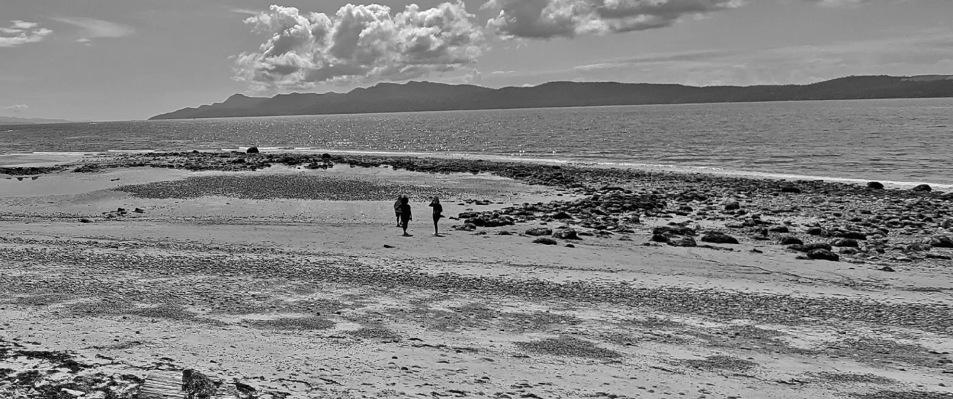
Back in August of 2019, the Nation was able to document a section of the beach along Marine Avenue at the end of the sea walk. Betty Wilson initiated the project with the intention of capturing video footage to document the site for cultural purposes and for use in potential future video projects. With support from the legislature she teamed up with Alex Sutcliffe and summer student Alana Washington and the three set out to scout the location and determine the optimal king low tide windows.
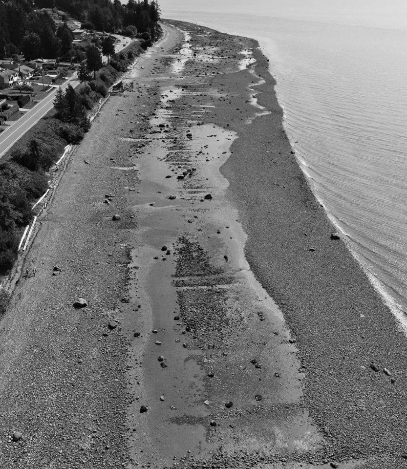
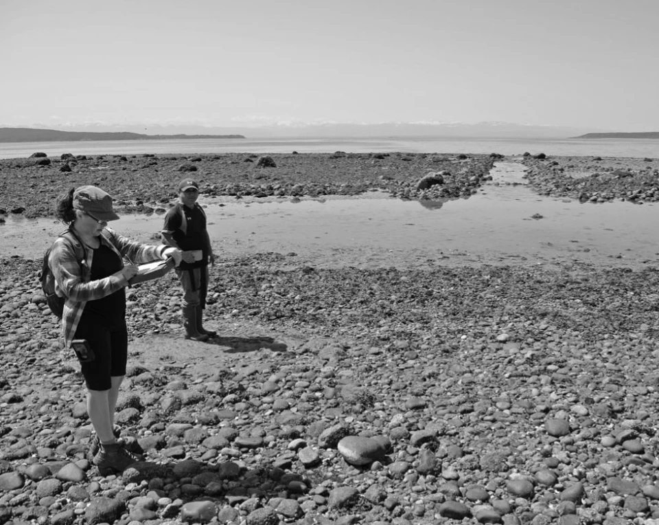
It was decided to capture a section of the beach towards the end of the Sea Walk, terminating where the private waterfront properties began. This section of beach was chosen as it was likely to be the least disturbed over time, with less seawalk and no direct waterfront properties. The site selected was in restricted airspace in proximity to Powell River airport so it was decided to commission Jordan Enns from Effective UAV Solutions to perform the flight. Jordan offered to model the site as part of the flight which added another valuable dimension to the information collected. Weather and tide times delayed the flight date multiple times but eventually a suitable window opened up that allowed the flights to proceed.
We now have drone photography and video of this stretch of beach, along with a digital surface elevation model, a high resolution ortho mosaic composite image which is the equivalent of the kind of satellite imagery you can access in google earth but offers far greater detail, and a three dimensional model of this section of the beach (which can be viewed in any web browser).
Looking at these structures from the ground is one thing, sometimes all you can see is a pile of rocks, but when you see these sites from the air, it gives you a whole new appreciation for what these remnants represent. The scale, complexity and organisation required to build these formations becomes really apparent and isquite striking. It ignites the imagination to wonder how they were used by our ancestors and what life was like pre-contact. Also, the fact that they are physical remnants of an ancient system of knowledge, an ancient culture which all Tla’amin people are descendants of. An amazing, vibrant, thriving culture that is untold thousands of years old.
Where much of the modern colonized world is fragmented and people don’t know their ancestral roots or where they came from, Tla’amin people have had an unbroken connection to this land for thousands, and thousands of years, and that’s pretty special.